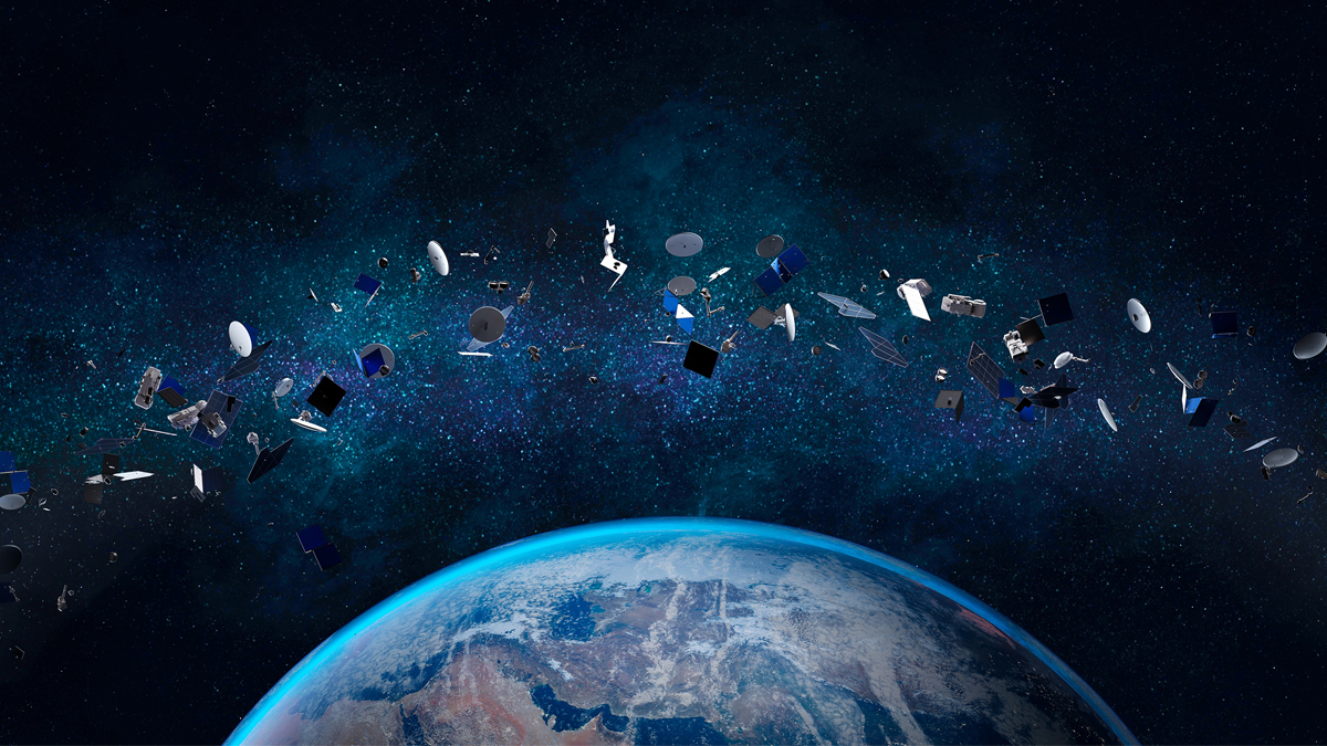
Satellite orbits are crowded and hard to navigate, and it’s only going to get more congested in the coming years. Space situational awareness companies like COMSPOC support satellite operators in being aware of the space environment, especially in busy orbital paths. Constellations spoke with CEO Paul Graziani about the role of multiple data sources and data fusion in helping satellite operators tackle space situational awareness (SSA).
SDA/SSA technology tracks objects and turns observations into usable data. This information is then propagated forward to predict future movements of objects in space. SDA/SSA companies like COMSPOC assemble their data from a variety of sources, creating a fused dataset that is more useful than any single data source by itself.
The Data “Lie Detector”
“There are just so many different data sources right now,” according to Graziani. “It could be optical data that comes from telescopes, it could be RF data… it could be radar.” One problem that quickly arises from assembling multiple data sources is sorting out conflicting information. If an optical telescope observes an object moving in one direction while the RF data tells a different story, then some of the incoming data must be incorrect.
But how to find the truth? To maintain data integrity, COMSPOC uses what is known as the Kalman filter, which is a type of algorithm for orbit determination. The team at COMSPOC calls it the “lie detector,” as it can quickly show “when one’s sensor is lying about an object,” said Graziani. “It kind of pops out very clearly, and then you can go and dig into it and find out if your clock is drifting, or what’s going on,” he said. Perhaps your GPS got knocked out, or your sensor is miscalibrated, and the error can be corrected.
Satellite operators must be aware of the accuracy—or lack of accuracy—in their data set. “This is an imperfect science,” he said. While methods like the Kalman filter can identify bad data, there’s no way to maintain a perfect data set. “You pretty much never have perfect information,” he said. But it can be helpful to understand the amount of uncertainty in the data you have. Covariance, for example, is a measure of how noisy your data is. This helps the user “have a good understanding of how well you know that object’s position,” said Graziani—or how faulty the prediction might be.
Fusing Multiple Data Sources
In crowded orbits, dealing with faulty data is paramount to good satellite management. “Data fusion is one of the main ways you can deal with this problem,” said Graziani. “You get as much information as you can from many different sensors… and fuse that all together.”
For example, an operator might fly multiple GEO satellites in the same orbital slot. Managing both without risk of collision requires very good location and movement tracking. But there are limitations to what is possible with a single data source: optical gives nice angles, but RF has better range, as well as a unique signature that can ID a satellite that is transmitting. In this case, using fused optical/RF data narrows the data set significantly and allows the operator to propagate a more accurate path.
Multiple data sources also allow an operator to compensate for gaps in coverage. GEO satellites are often managed with optical telescopes, but telescopes don’t work well in the light, which produces a gap in data coverage during the day. “An obvious way to fill that is with RF,” said Graziani. Other gaps are based on geography; lower-orbiting satellites might go unseen by a sensor that can only see two-thirds of the sky. “You need to fill that gap by having different sensors in different areas of the globe,” he said.
Analyzing Movement
To avoid collisions, good SSA data needs to accurately depict the locations and movements of satellites. But the path to getting this information can be complex. “It we work backwards, the action we want to take is a conjunction avoidance maneuver,” said Graziani. “What do you need to know? How do you transform the data from a raw observation into an actionable information?” Accurate analytics is a result of long-term data acquisition. “You have to trend it over time,” said Graziani.
“The other thing you have to know is patterns of life,” he said. This means observing the way in which another object approaches, and recognizing if it is moving in a reasonable and normal way—or if it is a potential threat. Just like a warship can watch the movements of another ship and identify if it is approaching in a threatening way, a satellite operator can learn to do the same with proper SSA data. “Maybe that satellite is just going to fly by you,” Graziani said. “Or maybe that satellite is on an approach to cause harm to you in some way.”
To learn more about commercial data capabilities and the growing SSA ecosystem, listen to the full episode here.
Explore More:
Data Fusion Leverages All Datasets for Better SDA
Podcast: Smallsat Mobility, Propulsion Arrays and Maneuvering for SDA at LEO
Opening Eyes: Small Businesses Tackle Space Domain Awareness
Space Intel Report: SSA Startup NorthStar Seeks Court Injunction Against Spire, Issues Contract Default Notice
