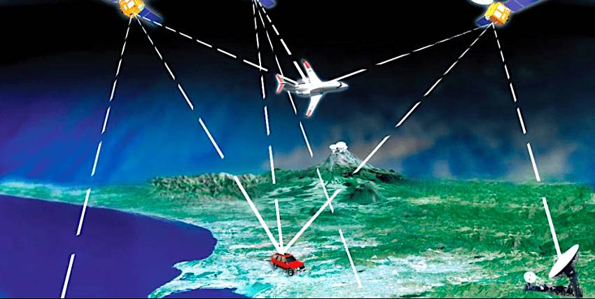
 Not a replacement for today’s GPS and Galileo GNSS systems, but a complement to them. (Source: US Department of Transportation)
LA PLATA, Maryland — The United States and Europe are both investing in orbital demonstrations of satellites that would complement the Global Navigation Satellite Service (GNSS) whose core is the U.S. GPS and European Galileo positioning, navigation and timing (PNT) networks.
The investments so far are being done in parallel but not in concert with each other. Their goal is the same: Develop a capability that can mitigate the weak, jamming- and spoofing-susceptible L-band signals from today’s GNSS with something less easily compromised.
Both sides of the Atlantic have contracted with commercial companies proposing various options, most of them focused on satellites placed in low Earth orbit below 1,000 kilometers in altitude. Today’s GNSS systems fly in medium-Earth orbit at around 20,000 kilometers.
The U.S. Department of Transportation (DoT), which is the lead civilian agency overseeing GPS, is currently evaluating responses to a request for proposals issued earlier this year as part of its “Complementary PNT Action Plan.” DoT was instructed by the 2018 Defense Authorization Act to contract for an in-orbit demonstration.
 Karen Van Dyke. (Source: Space Symposium video)
“We are going too stand up field-test ranges and proving grounds for these complementary technologies,” said Karen Van Dyke, DoT’s director of the PNT office. “What we’re hearing from critical infrastructure is, when we talk about commercial technologies, they want to know what the confidence level is in technologies not provided by the U.S. government.”
In an April 11 panel discussion at the 39th Space Symposium, organized by the Space Foundation, Van Dyke said the selection of a winning bid will follow “evaluating, stress-testing to see how these technologies operate in a critical-infrastructure environment.”
Van Dyke said neither DoT nor the U.S. government is backing away from GPS, which is why the department uses the term “complementary” instead of “alternative.”
“We recognize it is a weak signal from space and so our research is on how to toughen GPS receivers and apply [advanced] antennas and maybe get around some of the ITAR restrictions for civil applications. We want to use GPS when it’s available and make it as resilient as possible, and then complement it with other technologies. We want to facilitate adoption of those technologies.”
ITAR, the International Traffic in Arms Regulations, restricts certain technologies from being sold commercially or exported except under certain conditions.
The U.S. Space Force issued a draft request for proposals for a “GPS Lite” that adopts the proliferated LEO strategy that has captured the support of much of the U.S. defense establishment.
 Cordell DeLaPena. (Source: Space Symposium video)
“We are disaggregating missile warning, tracking and communications. PNT is coming next,” said Cordell DeLaPena, program executive officer for military communications and PNT at Space Systems Command.
GPS Lite appears to be as much about diversifying the source of the current GPS signals among a multitude of low-orbit satellites, and launching them rapidly, as about finding alternative radio frequencies. And the RFP calls for a demonstration satellite at 20,000 kilometers.
The bid request calls for a subset of existing GPS signals to be launched aboard satellites that could be launched within six months of the contract.
The Space Force signed a small contract with Xona Space Systems, which is designing a constellation of PNT satellites, and still has some $30 million to distributed to as many as 20 different contractors for similar work.
DeLaPena said none of these efforts is to somehow replace what GPS can do. The network, he said, is getting better and better and this month achieved its lowest-ever user range error, 25 centimeters.
An anti-jam capability is being embedded into military GPS user equipment, with the first-generation system, increment 1, now ready for use by the U.S. Army.
“The Army is buying 4,000 increment 1 anti-jam receivers a month. They are going into Patriots, into Stryker brigades and to Europe and Pacom [Pacific Command],” DeLaPena said, with the airborne and maritime versions to be certified this year.
“We are going to maintain that gold standard,” he said of GPS. “But there are emerging threats and we are going to have to augment those current capabilities with new things, including better clocks, to introduce diversity and resiliency, to thicken the infrastructure.”
Europe’s Galileo PNT network is expected to reach its complement of satellites, including spares, in orbit this year. As is true with GPS, the Galileo program has multiple satellites in storage. For GPS, the reason is that earlier-generation satellites have lasted longer than expected. For Galileo, the issue has been the lack of an available European launch vehicle since Europe ceased use of Russia’s Soyuz with the Russian invasion of Ukraine.
 Rodrigo da Costa. (Source: Space Symposium video)
The European Commission, which owns Galileo, has ordered 12 second-generation satellites, six each from Thales Alenia Space and Airbus Defence and Space, that are triple the size of the first generation and feature more-powerful navigation antennas. Launches are expected to start in 2026.
The 22-nation European Space Agency (ESA) has signed contracts valued at $253 million to test a LEO PNT system, including two five-satellite constellations to launch in 2028 using multiple radio frequencies.
The presumption of the ESA program is that the European Commission will take over financing of an operational LEO PNT service alongside Galileo.
“We are very encouraged that our partners at ESA are starting to look at LEO PNT,” said Rodrigo da Costa, executive director of the European Union Agency for the Space Program, EUSPA, which manages Galileo. “The logic is not to replace traditional GNSS, but to augment it with capabilities in low Earth orbit.
